|
|
|
|
|
|
 |
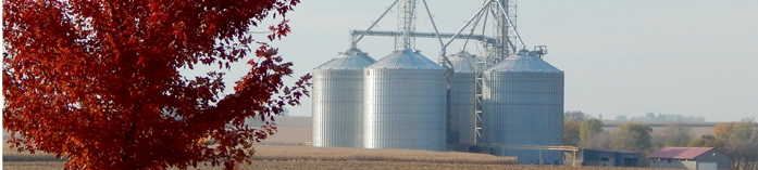
County Forecast for Polo , IL |
|
|
| | 162215-
Ogle-
Including the cities of Rochelle, Oregon, and Byron
237 AM CDT Thu Apr 16 2026
Today Mostly cloudy in the morning then clearing. A slight chance of thunderstorms with isolated showers in the morning. Highs in the lower 70s. West winds 10 to 15 mph, becoming northwest 5 to 10 mph in the afternoon. Chance of precipitation 20 percent.
Tonight Mostly clear. Lows in the lower 50s. Southeast winds 5 to 10 mph.
Friday Mostly cloudy. A slight chance of showers and thunderstorms early in the afternoon. A chance of showers and thunderstorms late. Breezy with highs in the lower 80s. South winds 15 to 20 mph with gusts up to 30 mph. Chance of precipitation 50 percent.
Friday night Thunderstorms likely in the evening. Showers, breezy with lows in the lower 40s. South winds 15 to 20 mph, becoming west after midnight. Gusts up to 30 mph. Chance of precipitation near 100 percent.
Saturday Partly cloudy. A slight chance of showers in the morning. Breezy with highs in the upper 40s. Northwest winds 15 to 20 mph with gusts up to 30 mph. Chance of precipitation 20 percent.
Saturday night Mostly clear. Lows in the lower 30s.
Sunday Mostly sunny in the morning, then becoming partly cloudy. Highs in the lower 50s.
Sunday night Partly cloudy in the evening, then becoming clear. Areas of frost after midnight. Lows in the lower 30s.
Monday Areas of frost in the morning. Sunny. Highs around 60.
Monday night Partly cloudy. Lows in the mid 40s.
Tuesday Partly cloudy. Highs in the lower 70s.
Tuesday night Mostly clear in the evening, then becoming partly cloudy. Lows in the upper 40s.
Wednesday Mostly sunny. Highs in the upper 60s. |
|
|
|
Bryce Anderson – DTN Meteorologist
|
| Storms Moving Through Midwest, Sharp Cold Front Moving Into Northern Plains Thursday |
Showers, thunderstorms for the Midwest. Cold front moving through the Canadian Prairies and into the Northern Plains. » More DTN Weather Commentary |
| Posted at 12:02PM Wed Apr 15, 2026 CDT |
Click here to get your local weather emailed to you each day.
|